International Conference on Geospatial Information Sciences
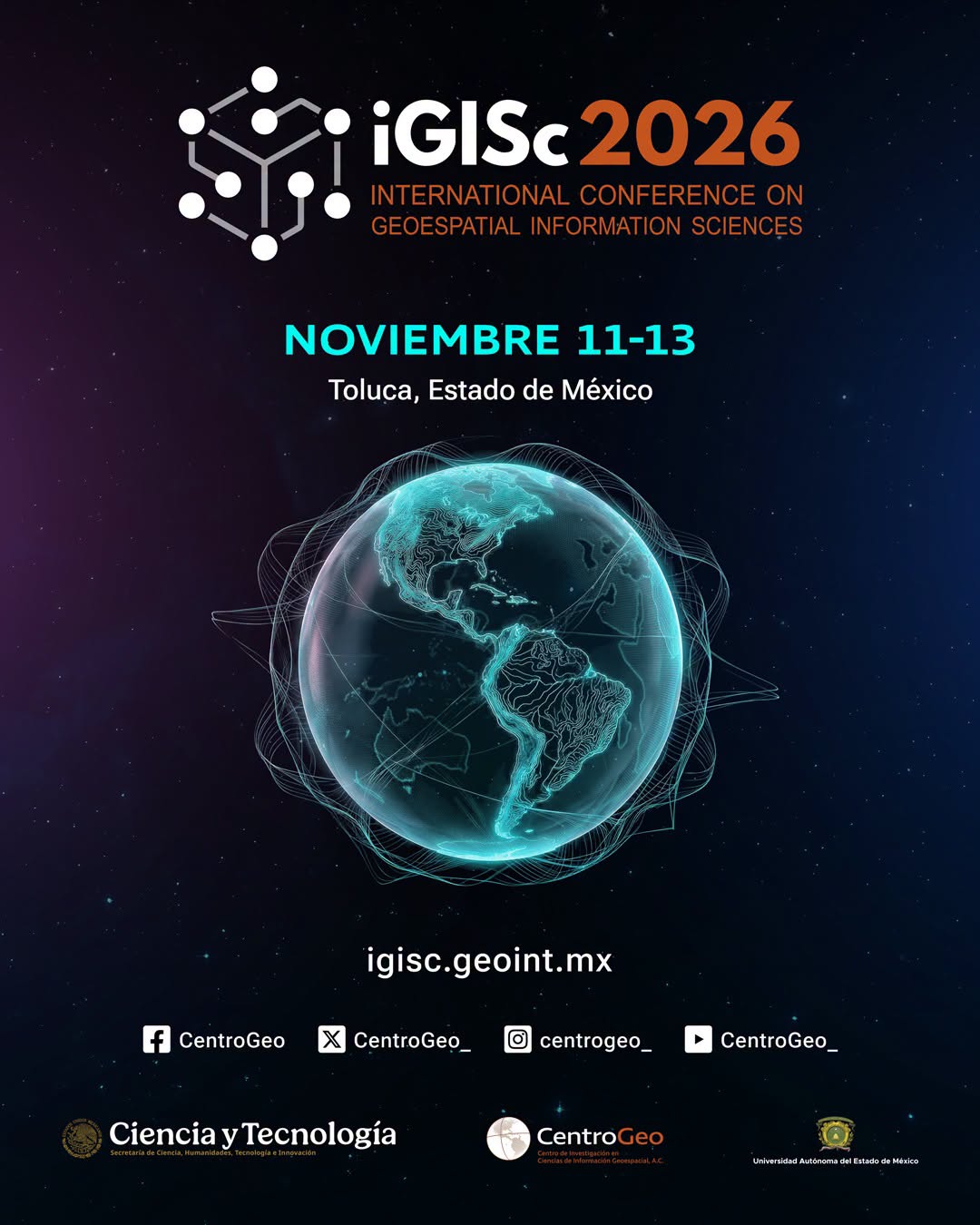

The International Conference on Geospatial Information Sciences (iGISc) is an academic forum organized by the Centro de Investigación en Ciencias de Información Geoespacial (CentroGeo), a public research center of the Secretaría de Ciencia, Humanidades, Tecnología e Innovación (SECIHTI) in Mexico.
The conference brings together researchers, practitioners, and students working in the field of geospatial information science to present and discuss advances in geographic information systems, spatial analysis, geospatial data science, remote sensing, and related applications addressing territorial, environmental, and urban challenges. Through peer-reviewed contributions, keynote lectures, and collaborative discussions, iGISc fosters interdisciplinary exchange and promotes innovative approaches for understanding and managing spatial phenomena.
Conferences Tracks
Track 1 – Geographic Information Systems, Cartography and Geoinformatics
Focuses on contributions addressing the development, evolution, and application of Geographic Information Systems, cartography and geoinformatics as scientific and technological disciplines. This track welcomes research exploring conceptual, methodological, and computational advances, as well as innovative applications of GIS for spatial representation, analysis, and territorial management.
Example topics include, but are not limited to:
- Theoretical foundations of GIScience and spatial thinking
- Spatial data models and geographic representations
- Advanced spatial analysis and geographic modeling
- Cartographic design, visualization, and geovisual analytics
- Multi-scale and multi-resolution spatial analysis
- Integration of heterogeneous and big geospatial data
- Spatial decision support systems
- GIS applications in planning, public policy, and territorial management
Track 2 – Remote Sensing, Photogrammetry, and Geodesy
Brings together research focused on the acquisition, processing, and analysis of geospatial data derived from remote sensing platforms, photogrammetric techniques, and geodetic methods. Contributions may present theoretical and methodological advances, as well as the development and application of emerging and innovative technologies.
Example topics include, but are not limited to:
- Satellite, airborne, UAV, and terrestrial remote sensing
- Photogrammetric methods and three-dimensional reconstruction
- Geodetic reference systems and positioning techniques
- Image processing, classification, and feature extraction
- Multi-sensor data fusion and integration
- Multi-temporal analysis and change detection
- Environmental, urban, and agricultural monitoring
- Risk, hazard, and disaster assessment
- Earth observation for climate and global change studies
Track 3 – Geographical Information Science and Society
Emphasizes the role of GIScience as a bridge between scientific research and the understanding and management of complex territorial problems with significant social impact. This track welcomes contributions that integrate scientific, technological, and social perspectives to support inclusive, interdisciplinary, and evidence-based approaches to territorial analysis.
Example topics include, but are not limited to:
- GIScience applications for public policy and territorial governance
- Spatial justice, equity, and inclusion
- Participatory GIS and citizen science
- Sustainable development and territorial planning
- Risk reduction, vulnerability, and resilience
- Environmental, urban, rural, and regional spatial analysis
- Indigenous and local spatial knowledge
- Ethical, legal, and social implications of geospatial technologies
Track 4 – Artificial Intelligence and Geographical Information Science
This track is dedicated to the exploration and application of Artificial Intelligence techniques in GIScience. Contributions may address theoretical, methodological, or technological developments that enhance the analysis, modeling, and prediction of geospatial phenomena.
Example topics include, but are not limited to:
- Machine learning and deep learning for geospatial data
- AI-based spatial prediction and modeling
- Integration of AI methods with GIS platforms
- Automated feature extraction and classification
- Artificial Intelligence for remote sensing image analysis
- Spatiotemporal data mining
- Explainable and interpretable AI in geospatial applications
- Ethical and responsible use of AI in GIScience
Regístrate aquí https://igisc.geoint.mx/


Te puede interesar
Etnografías móviles, relacionales y situadas: Hacia nuevas formas de comprender el habitar futuro en territorios complejos
Alejandra Valdés Teja - Oct 21, 2026El grupo de trabajo Senderos metodológicos para la investigación social contemporánea invita a la connferencia Etnografías móviles, relacionales y situadas: Hacia…
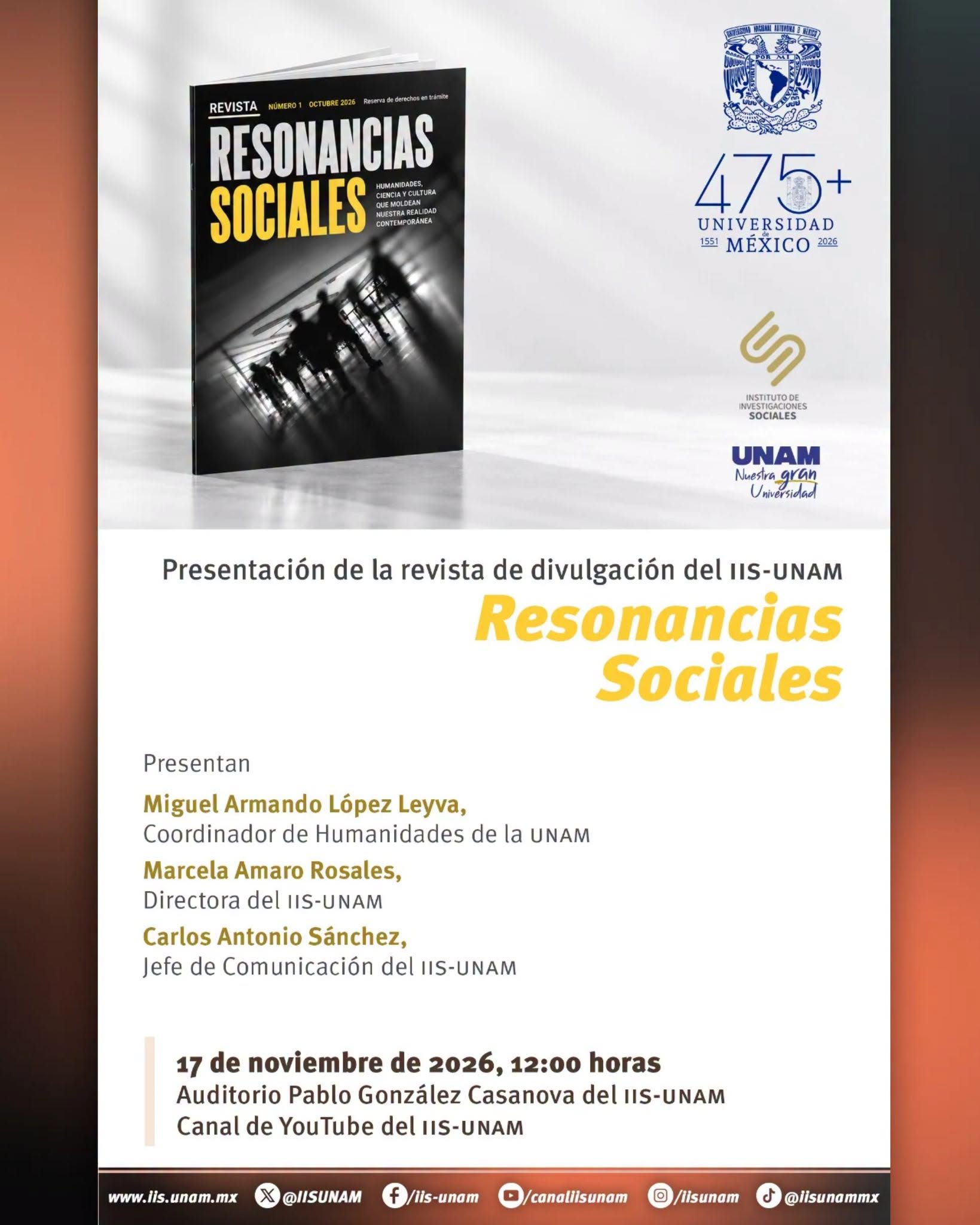
presentación de Resonancias Sociales, revista de divulgación del Instituto de Investigaciones Sociales de la UNAM
Alejandra Valdés Teja - Oct 21, 2026El COMECSO invita a la presentación de Resonancias Sociales, revista de divulgación del Instituto de Investigaciones Sociales de la UNAM:…
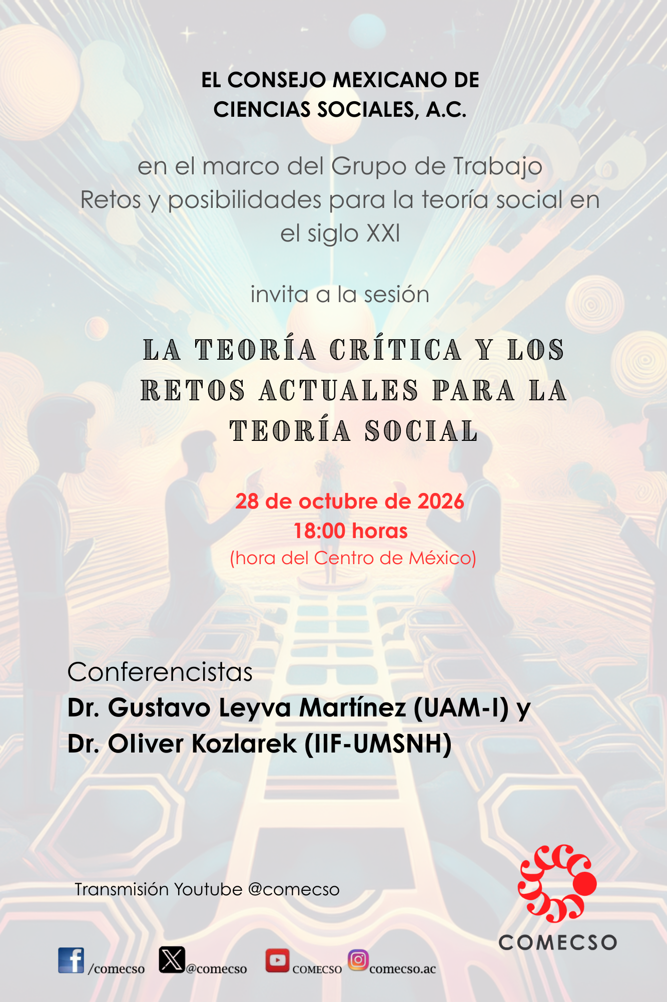
Conferencia La Teoría crítica y los retos actuales para la teoría social
Alejandra Valdés Teja - Oct 07, 2026El Grupo de Trabajo Retos y posibilidades para la teoría social en el siglo XXI invita a conferencia La Teoría crítica…
Talleres virtuales
Laura Gutiérrez - Sep 17, 2026Con el objetivo de transmitir conocimientos y desarrollar habilidades específicas que contribuyan a la práctica docente, la investigación, la innovación,…

Boletín CIALC. dedica esta edición a las escritoras latinoamericanas
Alejandra Valdés Teja - Oct 23, 2026El Boletín CIALC dedica esta edición a las escritoras latinoamericanas, en conmemoración del Día de las Escritoras que se celebra…

9° Coloquio de la Red de Estudios Latinoamericanos Deleuze & Guattari. “Rendimientos ontopolíticos de la filosofía de Deleuze y Guattari”
Alejandra Valdés Teja - Oct 23, 20269° Coloquio de la Red de Estudios Latinoamericanos Deleuze & Guattari . “Rendimientos ontopolíticos de la filosofía de Deleuze y…
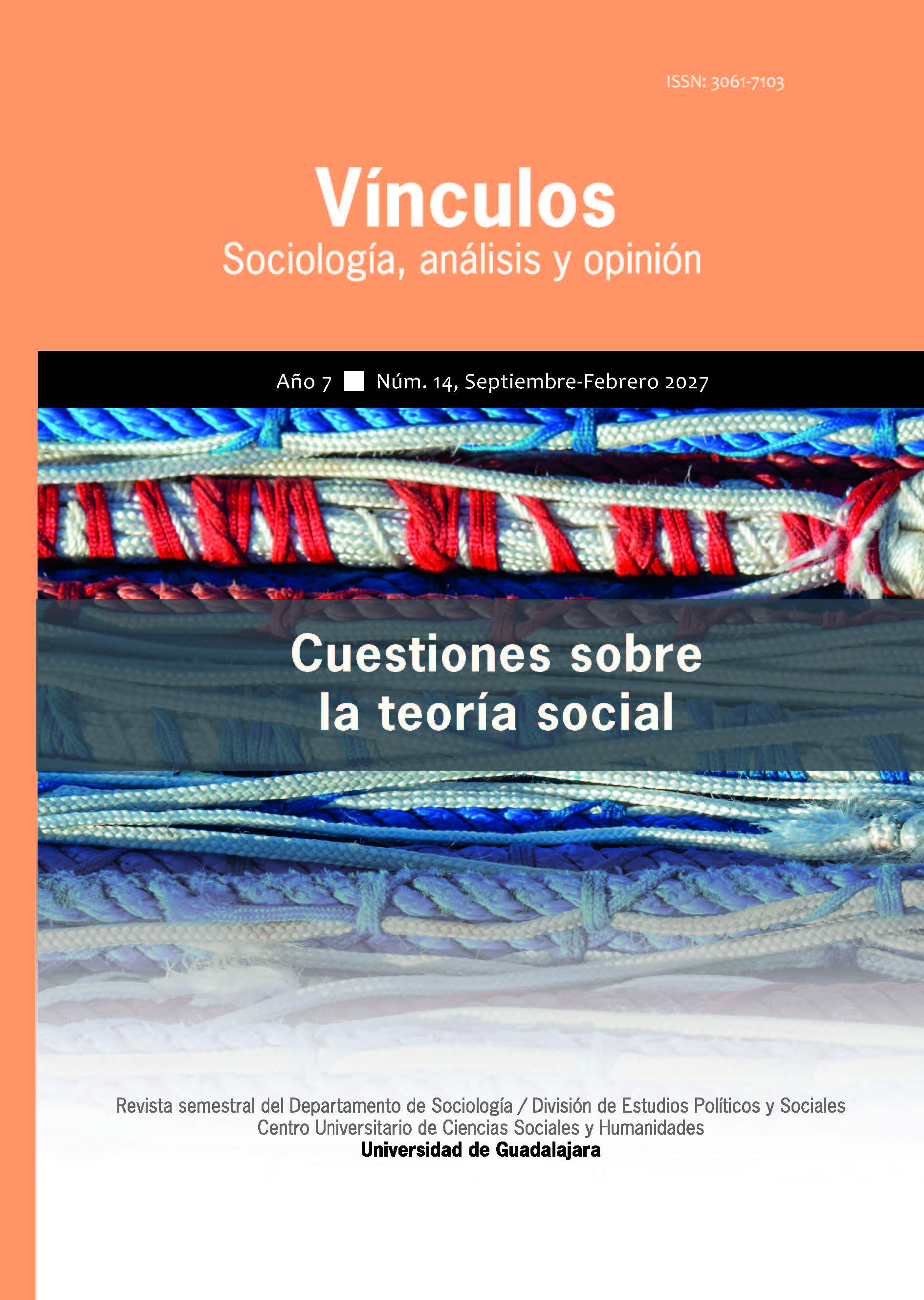
CONVOCATORIA: REVISTA VÍNCULOS. Sociología, análisis y opinión
Alejandra Valdés Teja - Oct 22, 2026CONVOCATORIA REVISTA VÍNCULOS. Sociología, análisis y opinión sección investigación y debate NÚM. 30/15 Temática: Estudios sociales sobre desastres Proceso de…
Grupos de trabajo

Conferencia magistral «Etnografías móviles, relacionales y situadas: Hacia nuevas formas de comprender el habitar futuro en territorios complejos»
Alejandra Valdés Teja - Oct 19, 2026Destacadas
Etnografías móviles, relacionales y situadas: Hacia nuevas formas de comprender el habitar futuro en territorios complejos
Alejandra Valdés Teja - Oct 21, 2026presentación de Resonancias Sociales, revista de divulgación del Instituto de Investigaciones Sociales de la UNAM
Alejandra Valdés Teja - Oct 21, 2026Conferencia La Teoría crítica y los retos actuales para la teoría social
Alejandra Valdés Teja - Oct 07, 2026Boletín CIALC. dedica esta edición a las escritoras latinoamericanas
Alejandra Valdés Teja - Oct 23, 20269° Coloquio de la Red de Estudios Latinoamericanos Deleuze & Guattari. “Rendimientos ontopolíticos de la filosofía de Deleuze y Guattari”
Alejandra Valdés Teja - Oct 23, 2026